Cornwall has roughly 300 miles of coast path, 80 square miles of open moorland on Bodmin Moor, and dozens of wooded river valleys cutting down to the sea - enough walking terrain to fill months without covering the same ground twice. The South West Coast Path alone accumulates a total ascent equivalent to almost four times Everest, which puts paid to any idea that coastal walking is straightforward. These 15 routes cover coast, moor, woodland, and river valley, grouped by type so you can find what suits the day.
South West Coast Path sections
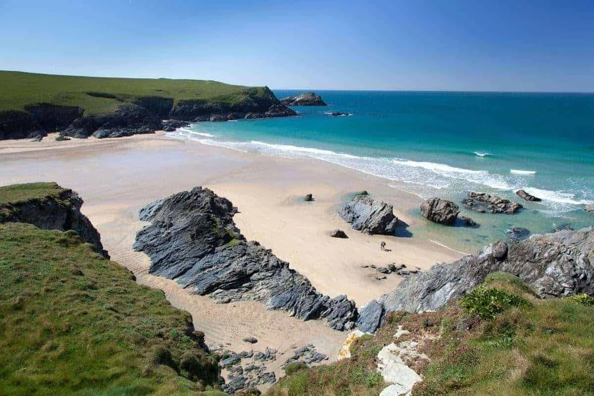
1. Kynance Cove and Lizard Point
4 miles return | Easy-moderate | the Lizard
Start at the National Trust car park above Kynance Cove - a beach of serpentine rock stacks and unusually clear water - and follow the coast path south to Lizard Point, the most southerly place in mainland Britain. The geological interest here is genuine: the serpentine rock, dark green with red and white veins, formed over 300 million years ago and is found almost nowhere else in Britain. The path is well-maintained and mostly level, with a few gentle rises. Return the same way or continue a short distance to Lizard village for the Top House Inn or the Witchball pub.
Start point: National Trust Kynance Cove car park (pay and display).
Grade: Easy-moderate. Suitable for older children and reasonably fit adults.
Dogs: Allowed on the path year-round. Kynance beach has seasonal restrictions - dogs before 10am and after 5pm in summer.
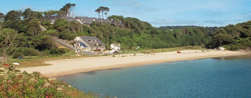
2. Sennen Cove to Cape Cornwall
4 miles one way | Moderate | West Cornwall (Penwith)
Walk north from Sennen along the clifftops of the Penwith coast - the most westerly section of the coast path and one of its most dramatic. The path follows granite headlands to Cape Cornwall, a 60-metre headland topped by a decommissioned mine chimney stack. This is one of only two capes in Britain (the other is Cape Wrath in Scotland). The stretch passes Aire Point and Carn Gloose, with views across to the Brisons - two offshore rocks that catch the Atlantic swell. Arrange a pick-up at Cape Cornwall or walk back the same way.
Start point: Sennen Cove car park.
Grade: Moderate. Some steep sections but no scrambling.
Dogs: Allowed year-round on the path.
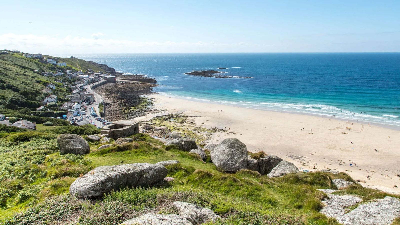
3. St Ives to Zennor
7 miles one way | Strenuous | West Cornwall
The hardest popular walk in Cornwall, and the most rewarding for those who take it on. The coast path leaves St Ives over the headland at Clodgy Point and follows a wild granite coastline with no road access for the entire 7 miles to Zennor. There are serious ascents and descents over boulder-strewn ground, sections of scrambling, and exposed clifftop walking above sheer drops. The landscape is entirely undeveloped - no buildings, no fences, no signage beyond the occasional acorn marker. Grey seals are regularly visible from the clifftops. Finish at the Tinners Arms in Zennor, which claims origins in the 13th century, and catch the bus back to St Ives.
Start point: St Ives (park and ride recommended in summer - the town car parks fill early).
Grade: Strenuous. Proper walking boots essential. Not suitable for young children or anyone uncomfortable with exposure.
Dogs: Allowed on the path. No livestock fences on much of the route - good recall required near cliff edges.
4. Padstow to Stepper Point circular
5 miles | Moderate | North Cornwall
A circular route from Padstow along the east side of the Camel Estuary to Stepper Point, a headland that guards the estuary mouth, with views north to Trevose Head and south to Rock and Polzeath. The outward leg follows the cliff path, the return comes back along the estuary shore. The Doom Bar sandbar - responsible for dozens of historical shipwrecks - is visible below the point at low water. A good alternative to the more crowded Padstow harbour walks.
Start point: Padstow town centre or the car park at the top of the town.
Grade: Moderate. A few climbs on the headland section but nothing demanding.
Dogs: Allowed year-round.
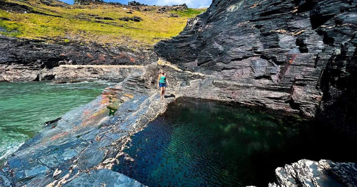
5. Boscastle to Tintagel

6 miles one way | Strenuous | North Cornwall
From the dramatic inlet harbour at Boscastle - the valley walls close in to near-vertical cliffs before the stream meets the sea - north along the cliffs to Tintagel Castle. The path passes Rocky Valley, a narrow gorge with ancient rock carvings of uncertain date, and Trevalga cliffs. Total elevation gain is around 300 metres over the 6 miles. Tintagel Castle itself sits on a headland connected to the mainland by a footbridge rebuilt in recent years. Regular buses connect Boscastle and Tintagel, making this a straightforward one-way walk.
Start point: Boscastle main car park.
Grade: Strenuous. Repeated steep climbs and descents on rocky paths.
Dogs: Allowed on the path. Boscastle beach (at the harbour mouth) is dog-friendly year-round.
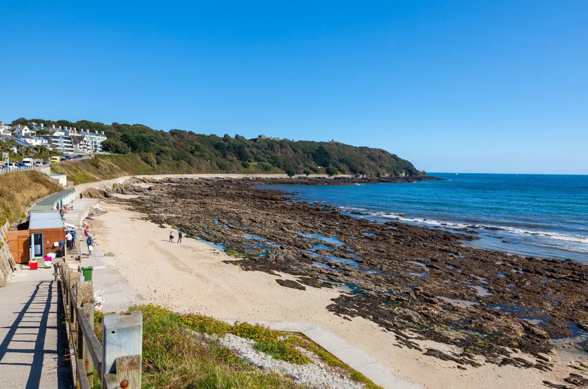
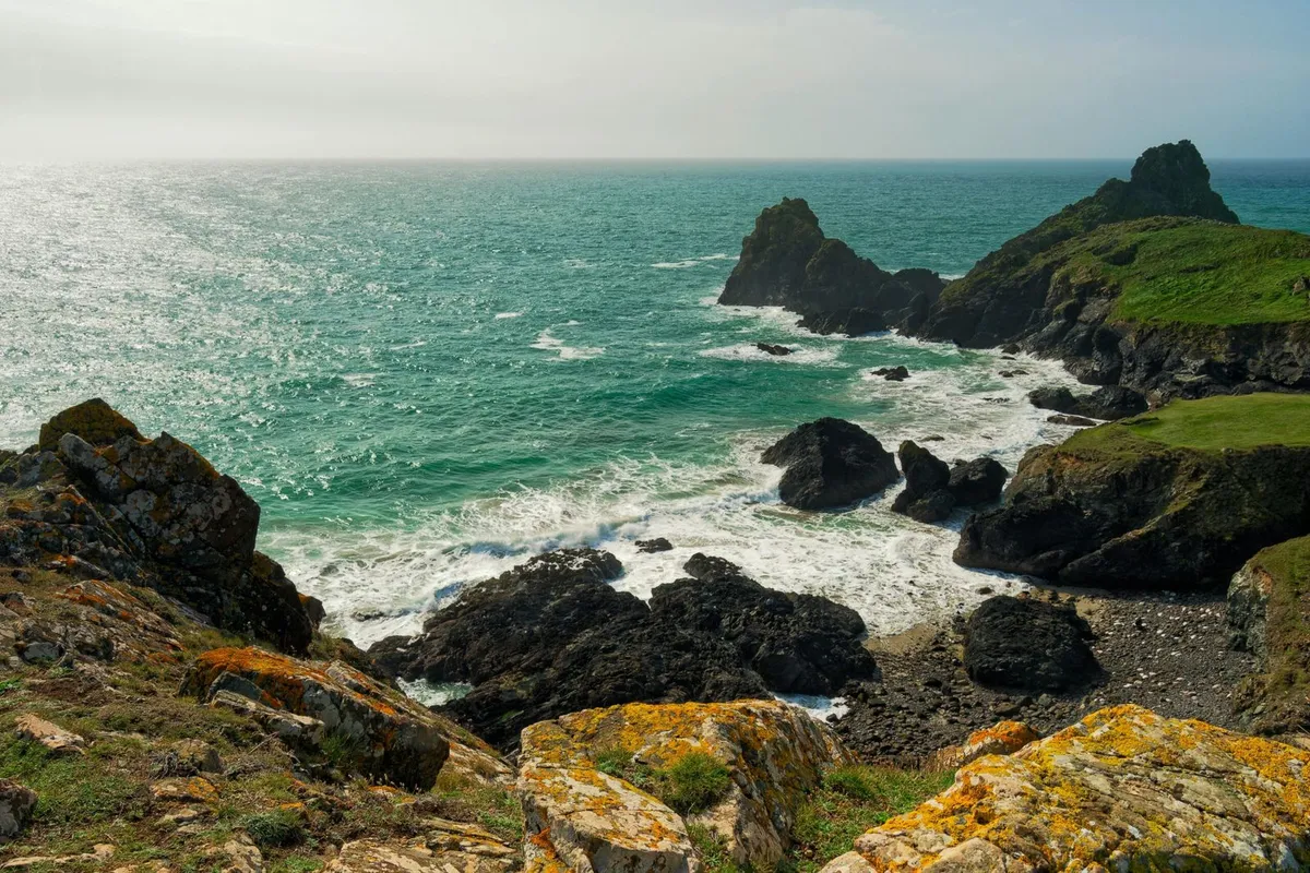
6. Lizard Point loop via Cadgwith
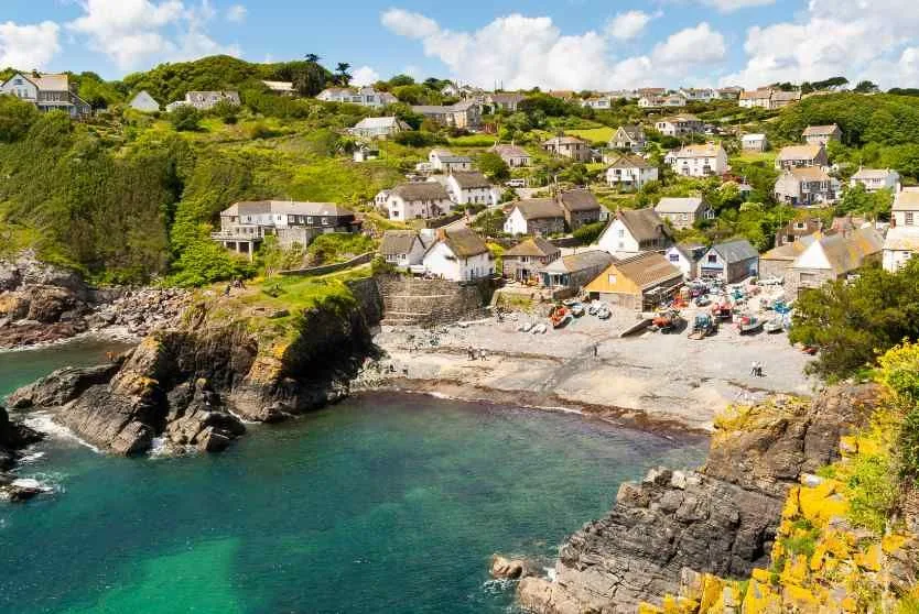
6 miles circular | Moderate | the Lizard
A longer circuit on the Lizard combining the coast path with a return along inland tracks. Walk east from Lizard village along the cliff path to Cadgwith - a working fishing village with a cove split by a rock called The Todden - then return via the lane and footpath network inland. Cadgwith Cove Inn serves crab sandwiches made with locally-caught crab. The clifftops between Lizard Point and Cadgwith are classified as a Site of Special Scientific Interest for their rare plant communities, including the Cornish heath, which flowers purple across the peninsula in late summer.
Start point: Lizard village car park.
Grade: Moderate. Manageable for most walkers with some fitness.
Dogs: Allowed on the path year-round.
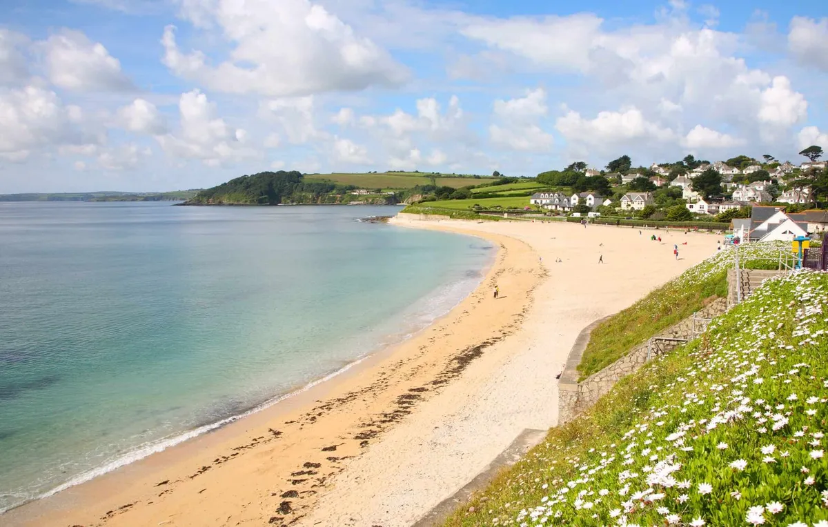
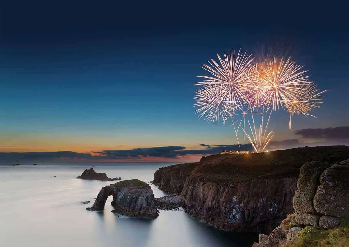
7. Rame Head and the Rame Peninsula
5 miles circular | Moderate | South-east Cornwall
The Rame Peninsula is one of Cornwall’s least-visited corners - a quiet headland between Plymouth Sound and Whitsand Bay. Walk from Cawsand, a double village of colour-washed fishermen’s cottages (note the line on a wall in the centre marking the old Devon-Cornwall boundary), around Rame Head to Penlee Point and back. The ruined 14th-century chapel of St Michael on Rame Head sits 97 metres above the sea. Plymouth breakwater, Eddystone Lighthouse, and on clear days the southern edge of Dartmoor are all visible from the headland.
Start point: Cawsand village square (limited roadside parking or the car park above Kingsand).
Grade: Moderate. Good paths throughout.
Dogs: Allowed year-round.
Inland and river valley walks
8. Camel Trail: Padstow to Bodmin
17 miles one way (or any section) | Easy | North Cornwall
A flat, surfaced path along a disused Victorian railway following the Camel Estuary from Padstow to Bodmin. The surface is compacted gravel and suitable for pushchairs, wheelchairs, cycling, and all fitness levels. Bike hire is available at Padstow and Wadebridge. Most visitors cover the Padstow to Wadebridge section (5.5 miles, about 2 hours walking), where the estuary is at its widest and the birdlife - egrets, curlews, and oystercatchers on the mud at low tide - is most visible. The full 17 miles to Bodmin passes through Dunmere Wood, where the railway line crosses the River Camel twice.
Start point: Padstow harbour or Wadebridge town car parks.
Grade: Easy throughout. The flattest long walk in Cornwall.
Dogs: Allowed on leads (shared with cyclists).
9. Golitha Falls
2 miles return | Easy | Bodmin Moor
A short walk through ancient oak woodland to a series of waterfalls on the River Fowey at the edge of Bodmin Moor. The woodland is a National Nature Reserve and one of the most intact fragments of the ancient temperate rainforest that once covered much of south-west Britain. Lichen-covered oaks grow over a rocky river gorge - the falls are at their most impressive after sustained rain, when the river runs fast over slabs of granite. The path is uneven in places but manageable in light walking boots or sturdy trainers.
Start point: Car park at Golitha Falls (free, off the B3360 near Minions).
Grade: Easy. Short enough for most ages. Watch footing on wet rock near the falls.
Dogs: Allowed on leads throughout.
10. Cardinham Woods
2-4 miles (multiple trails) | Easy | Near Bodmin
A Forestry England site of mixed woodland near Bodmin with multiple waymarked trails of different lengths. A stream runs through the valley floor and children reliably end up paddling in it. The woods provide complete shelter from coastal weather - a good option when the coast is too exposed or the wind too strong for cliff walks. Facilities include a car park, toilets, a cafe, and a children’s play area. The longer Lady Vale trail covers 4 miles through quieter sections of the forest.
Start point: Cardinham Woods car park, off the minor road east of Bodmin (free).
Grade: Easy. All trails well-maintained.
Dogs: Allowed off-lead on most trails.
11. Tehidy Country Park
2-4 miles | Easy | Near Camborne
Cornwall’s largest area of woodland - 250 acres of mixed trees, lakes, and grassland managed by Cornwall Council. Nine marked walking routes radiate from the central car park, ranging from a short lake circuit to a 4-mile woodland loop. The lakes attract kingfishers year-round. The park was the estate of the Basset family, the mining magnates who dominated west Cornwall in the 18th and 19th centuries - their influence is visible in the formal planting around the main lake. Accessible from Portreath and Pool, making it useful for visitors based on the north coast or near Redruth.
Start point: Tehidy Country Park car park (free).
Grade: Easy. Flat and well-surfaced throughout.
Dogs: Allowed on leads.
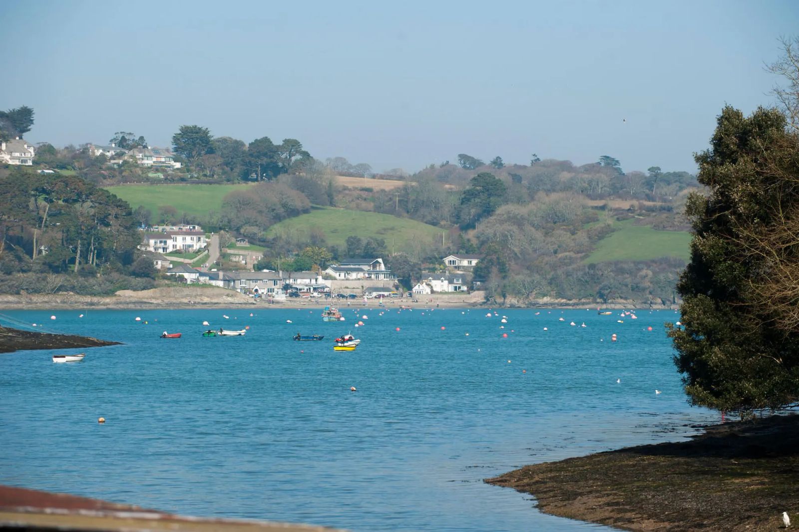
12. Trelowarren and the Helford River

3 miles circular | Easy-moderate | the Lizard
A quiet walk through the Trelowarren estate woodland to the Helford River, one of Cornwall’s drowned river valleys. The path passes through oak woodland to the creek at Frenchman’s Pill, where the river narrows and the water is sheltered enough to reflect the trees growing to the waterline. The Trelowarren estate has been farmed continuously since at least the 11th century and is still a working farm. A short walk but one of the most serene in Cornwall.
Start point: Trelowarren estate car park near Mawgan, on the Lizard.
Grade: Easy-moderate. A few muddy sections in wet weather.
Dogs: Allowed on the path.
Bodmin Moor walks
13. Brown Willy and Rough Tor
5 miles circular | Moderate-strenuous | Bodmin Moor
The highest ground in Cornwall. The walk from the free car park south-west of Camelford takes in both of Cornwall’s highest summits: Rough Tor (400 metres) and Brown Willy (420 metres). The summit plateau of Rough Tor is a Bronze Age settlement site with clear remains of hut circles and field boundaries. Brown Willy adds a further 30 minutes from Rough Tor and requires crossing wet moorland. On clear days you can see both the north and south coasts of Cornwall from the top. Free-roaming cattle and wild ponies graze the moor - keep dogs on leads around livestock.
Start point: Free car park off the minor road south-west of Camelford, signposted Rough Tor.
Grade: Moderate-strenuous. Open moorland with no shelter - check weather forecasts before setting out.
Dogs: Allowed, but on leads near the moor cattle and ponies.
14. Minions and the Hurlers
3 miles circular | Easy-moderate | Bodmin Moor
A moorland walk from the village of Minions - at 300 metres, the highest village in Cornwall - to the Hurlers stone circles. The Hurlers are three Bronze Age stone circles dating to around 1500 BC, laid out in a line across the moor. The walk continues to Stowe’s Pound and Cheesewring, a natural granite formation stacked into columns by millennia of frost weathering. The Minions landscape sits within the Caradon Hill mining district - disused engine houses and mine shafts are scattered across the moor, several with interpretation boards.
Start point: Minions village, off the B3254 near Liskeard.
Grade: Easy-moderate. Mostly open moorland on good paths.
Dogs: Allowed on leads near the livestock.
15. Dozmary Pool circular
2 miles circular | Easy | Bodmin Moor
Dozmary Pool is the only natural lake on Bodmin Moor - a dark, windswept sheet of water at 268 metres that has accumulated considerable mythology, most famously as the place where Excalibur was returned to the water at King Arthur’s death. Whether the legend is credible or not, the atmosphere is distinctive: the pool sits in a shallow bowl on open moor with no trees and an enormous sky. The circular path around the perimeter takes under an hour. Worth combining with the Minions walk for a half-day on the moor.
Start point: Small lay-by on the A30 near Bolventor, or the car park at Jamaica Inn (a 10-minute walk).
Grade: Easy. Level paths on open moor.
Dogs: Allowed.
Practical information
Maps. Ordnance Survey Explorer maps cover all of Cornwall at 1:25,000 scale and are worth carrying on coastal and moorland walks where phone signal is unreliable. The South West Coast Path National Trail website publishes detailed route notes and downloadable GPX files for all sections of the coast path.
Footwear. Coastal and moorland walks require proper walking boots with ankle support - the terrain is rocky, uneven, and boggy in places even in summer. The Camel Trail, Cardinham, and Tehidy are fine in sturdy trainers or trail shoes.
Tides. Several beaches on coastal walking routes are only accessible at low tide. Check tide times before including beach stops on longer walks.
Weather. Cornwall’s Atlantic exposure means weather changes quickly. Carry waterproofs regardless of the forecast. Wind on north coast clifftops can reach force 8-9 in winter and spring, making sections like St Ives to Zennor genuinely hazardous. The moor is no less exposed - Bodmin Moor has poor visibility in low cloud and has caught walkers out in all seasons.
Return transport. Most linear coast path walks work as one-way routes with a bus return. First Kernow buses serve both coasts, with summer services including the Atlantic Coaster and Land’s End Coaster. Timetables reduce significantly outside July and August - check before relying on them.
Seasonal considerations. April and May bring wildflowers on the clifftops - sea campion, thrift, and kidney vetch across the coastal heath. Late summer sees Cornish heath flowering purple across the Lizard. Autumn walking (September to October) offers warm sea temperatures and fewer people on popular sections. Winter is viable - Cornwall rarely gets frost at sea level - but days are short and exposed sections can be challenging.
For coastal routes in more detail, see our coast path walk guide. For the general walking overview including pub stops and dog access information across the county, see walks in Cornwall.
This guide is updated regularly. Last reviewed April 2026.
See also: Adventure Days Out in Cornwall · Surfing Holidays in Cornwall · Cornwall in Winter